Aerogeophysics

Aerogeophysics
From the skies to the ground

From the skies to the ground

This specialty plays a crucial role in the exploration of natural resources, environmental management, natural disaster prevention, and archaeological research.

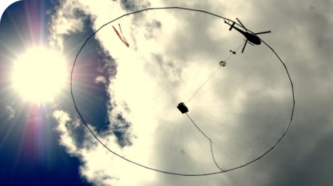
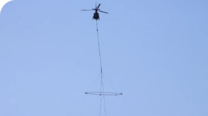
Aerogeophysics combines principles from geophysics and aviation to investigate and map the physical properties of the terrain.

This data is essential for identifying areas with economic potential and directing resource exploration more efficiently.

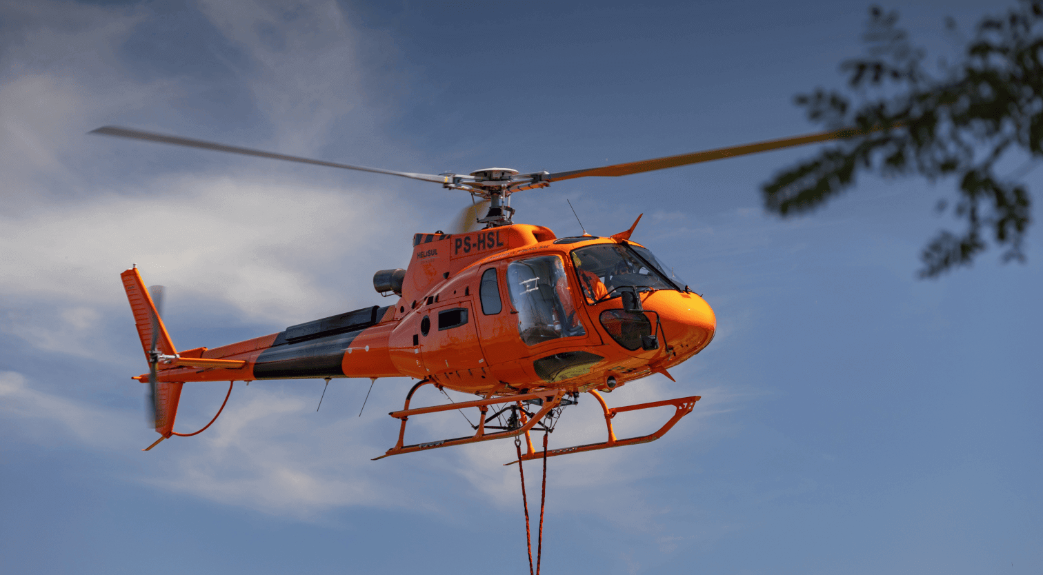
7+ thousand flight hours

in aerial survey operations

Serviços que atendem às normas e regulamentos nacionais e garantem certificação de qualidade a nível global

All services offered meet national standards and regulations, in addition to ensuring quality certification at a global level.

  • Aerophotogrammetry
  • Magnetometry
  • Radiometric
  • Electromagnetometry
Combinaçao de tecnologias avançadas para fornecer soluções aerogeofísicas confiáveis e precisas.

Helisul combines advanced technology and expertise to provide reliable and accurate aerogeophysical solutions.

Get in touch
Solutions

Helisul's highly specialized services are throughout the country. And they serve
governments and private companies with that category of those who know what they are doing.

1